Interfaces made visible.
Berthing geometry, water levels, access gradients, utility distribution and landside interfaces must work as one operational system.
Marine BIM
Integrated Waterfront & Berthing Infrastructure
Overview
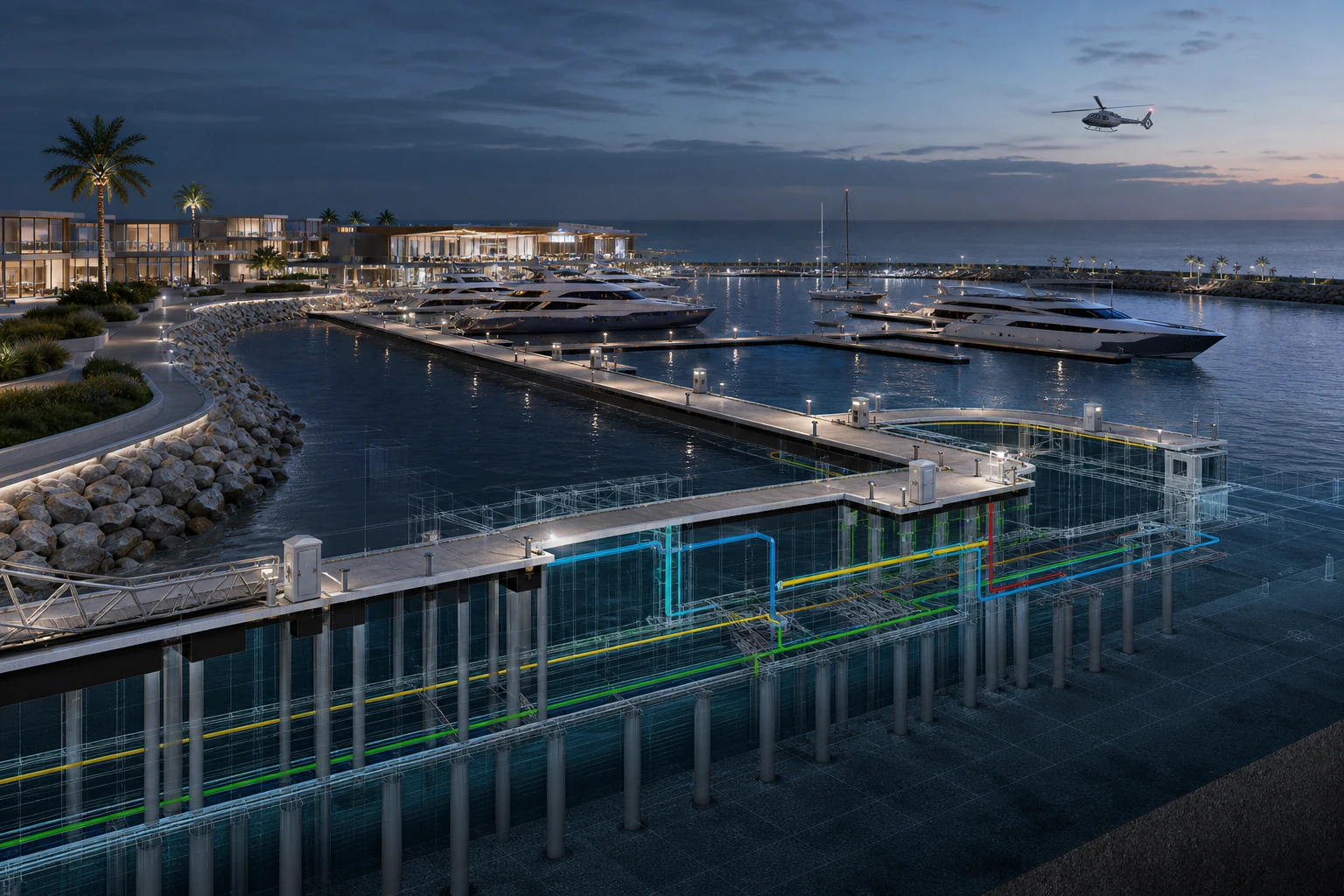
A marina master-plan BIM model integrating floating pontoons, gangways, berthing fingers, utility routing, pile arrangements, waterfront promenade interfaces and marina services.
Berthing geometry, water levels, access gradients, utility distribution and landside interfaces must work as one operational system.
The coordinated marine model connects waterside infrastructure and waterfront development through verified levels, routes and interfaces.
Delivery focus
Pontoons, gangways, berthing fingers, piles, marine utilities and promenade interfaces.
Related services
BIM & Digital Engineering
Structural Engineering
Marine & Coastal Engineering